• THE 360 PROJECT
  • CONTACT
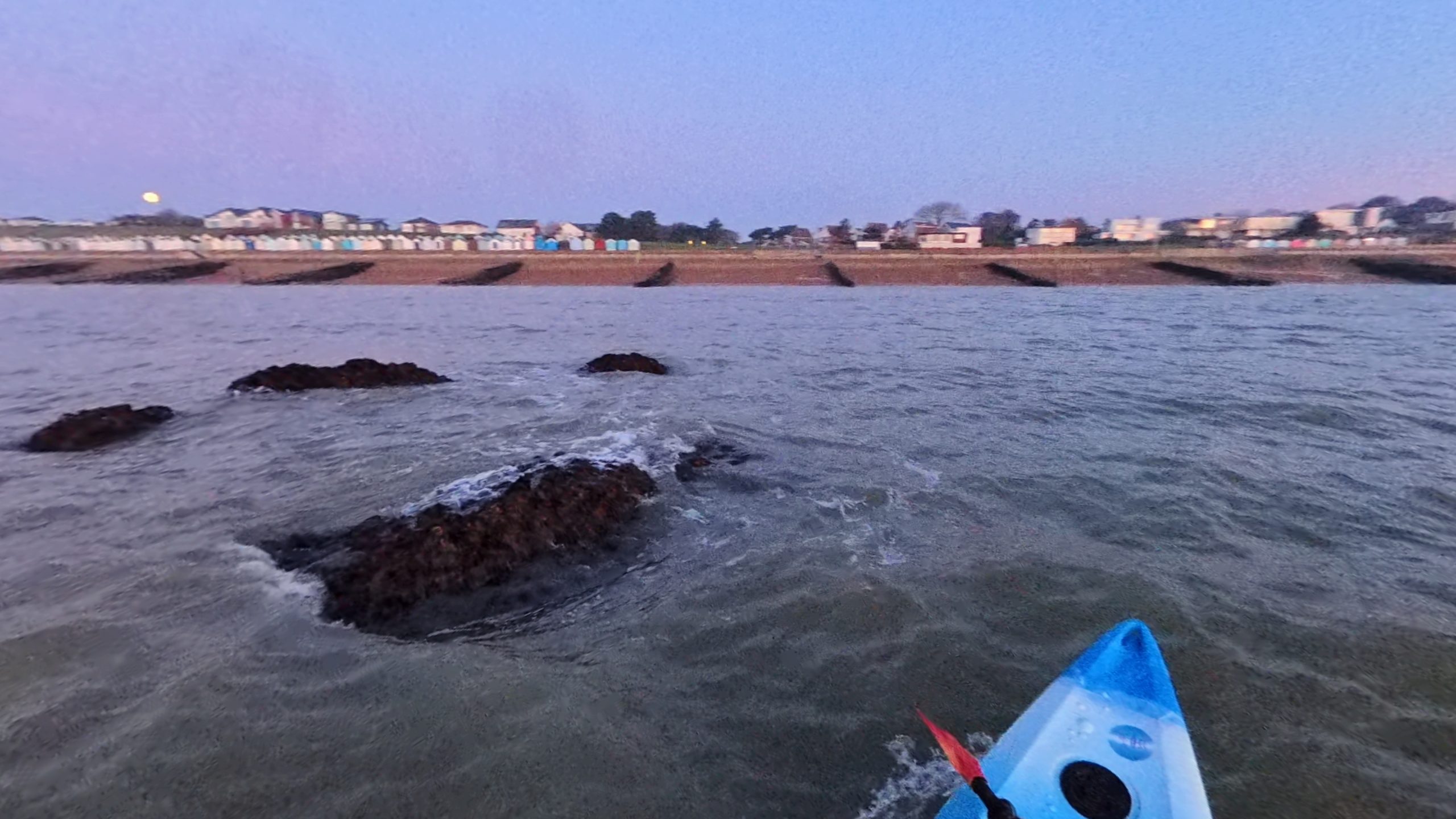
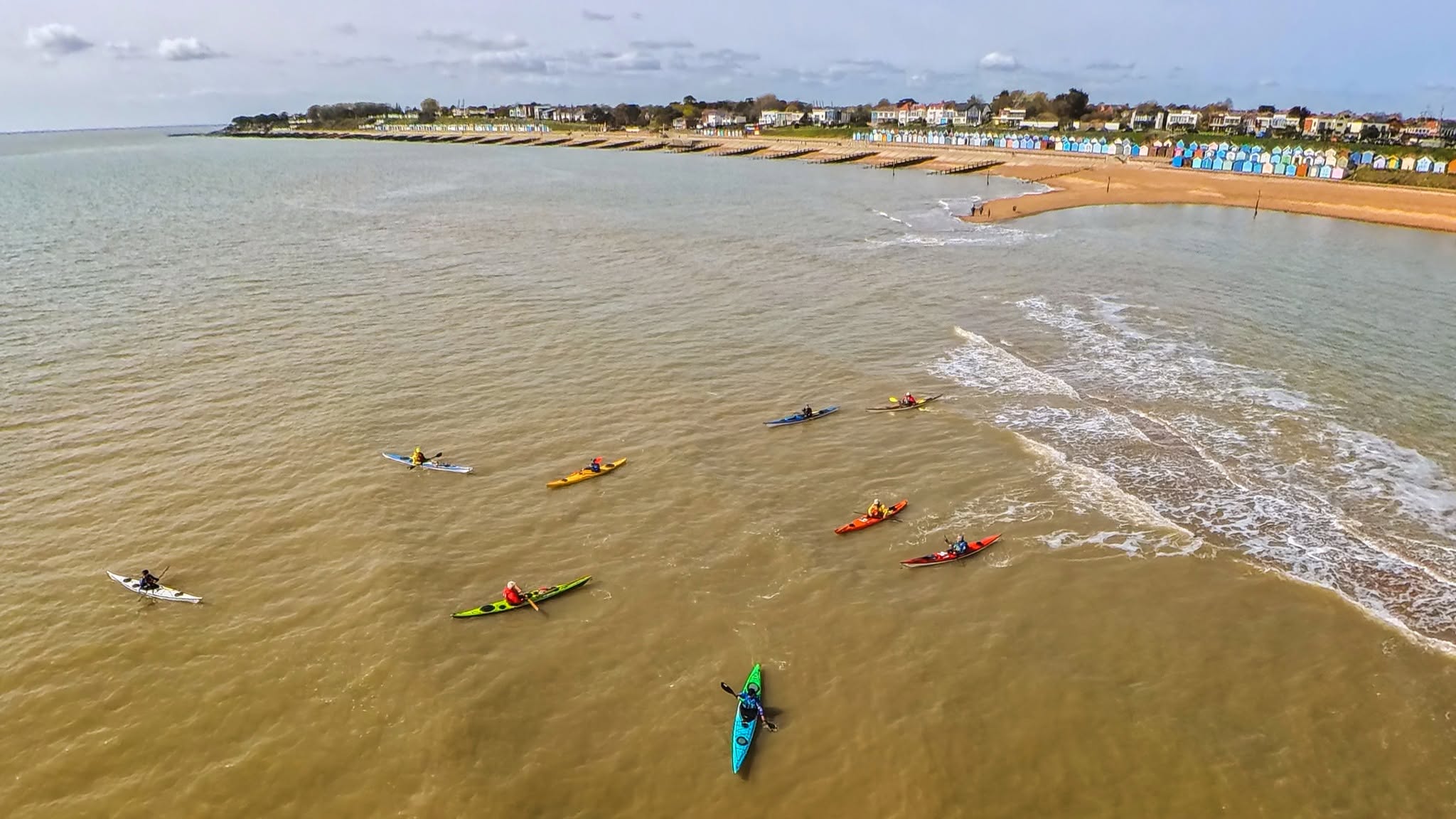
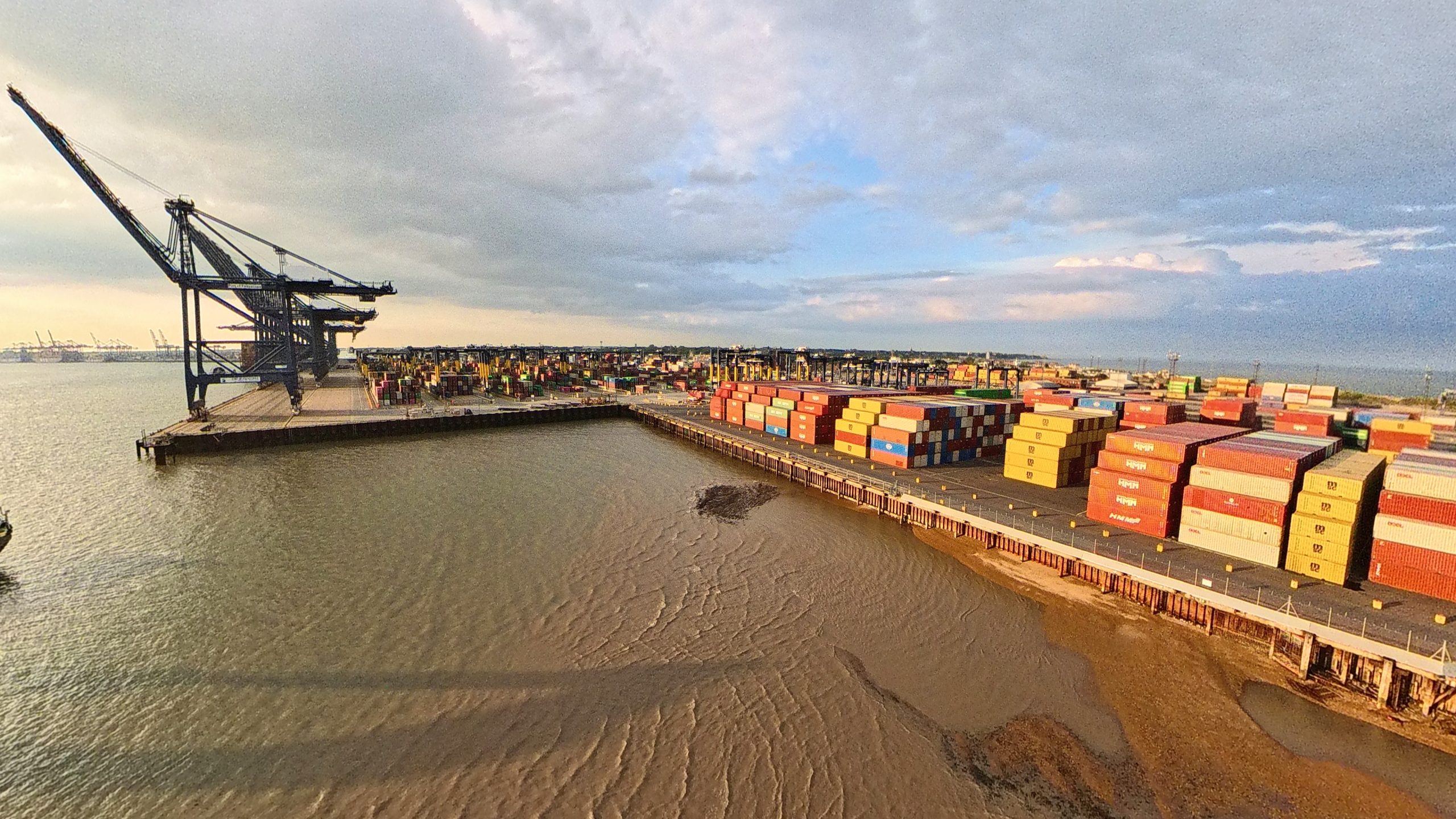
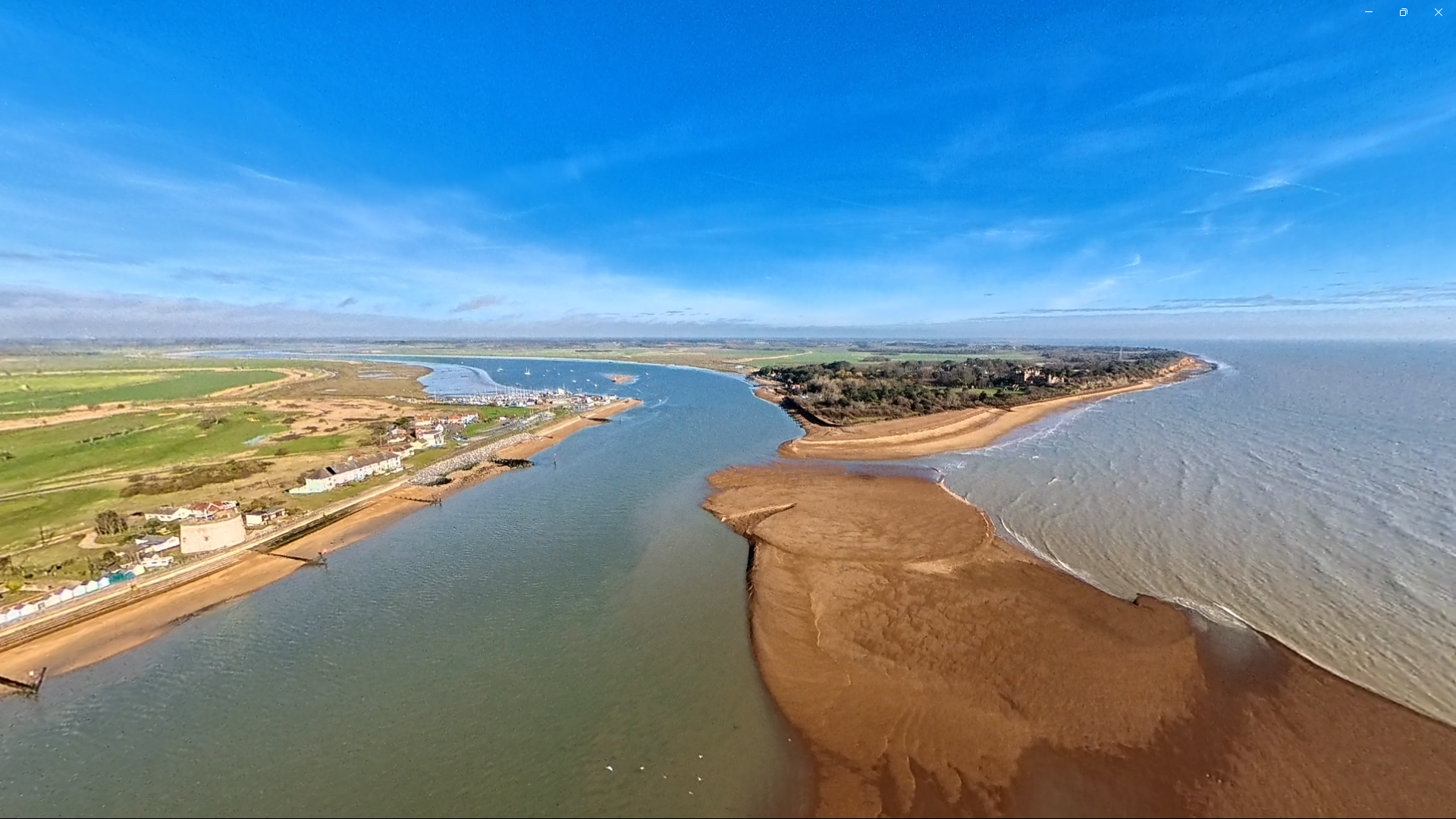
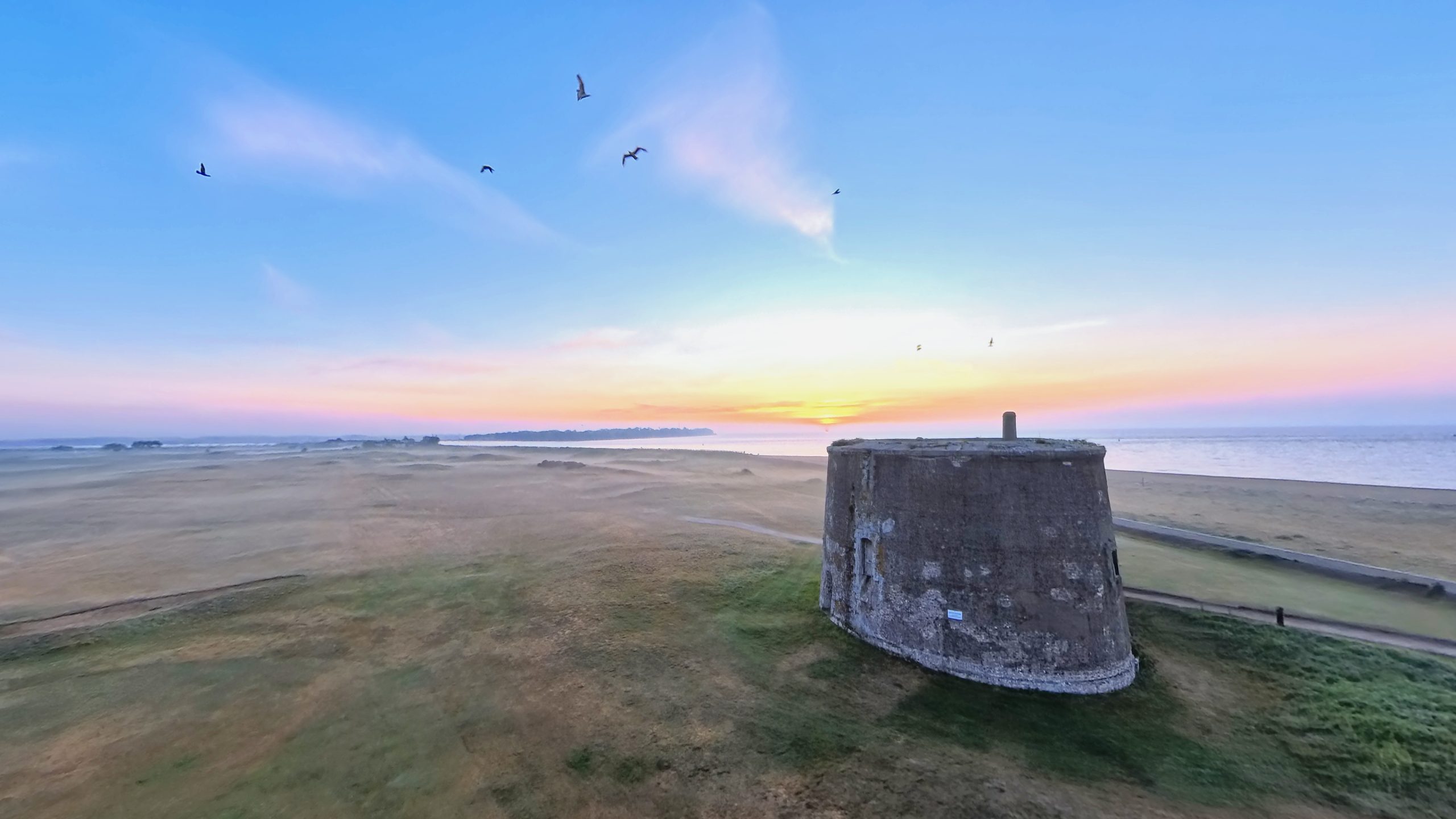
FELIXSTOWE 360 MAP

felixstowe 360 map

EXPLORE THE MAP

Map

Coast

Town

Surrounding

Offshore

All Places

360 map | explore felixstowe

An interactive 360 map of the Felixstowe coast, town, gateways and offshore views.

featured locations

The Castle Beneath The Sea

The Spit - Where land meets Tide

picture of the dock

Where The Ships Enter The Coast

Where The Deben Meets The Sea

End Of The Prom, Start Of The Cliffs

History With A Sea View

VIEW ALL LOCATIONS

Coastal 1-9

  • C1 Port of Felixstowe Dock & The View Point
  • C2 Languard Fort & Languard Point
  • C3 Manor End & Suffolk Sands
  • C4 Martello Park & Sea You Cafe
  • C5 Beach Street & The Wheel
  • C6 Seashore Village & Ocean Boulevard
  • C7 Felixstowe Pier
  • C8 Bent Hill – Gateway to Town
  • C9 Spa Pavilion & Hamilton Gardens

Coastal 10 – 17

  • C10 Seafront Gardens & Bath Tap
  • C11 Cobbolds Point
  • C12 Brackenbury Cliffs
  • C13 The Dip & Walton Castle
  • C14 Felixstowe Lagoon & The Spit
  • C15 Martello Tower & Golf Club
  • C16 Felixstowe Ferry
  • C17 Kingsfleet & The Deben Estuary

Gateways & Routes

  • G1 Felixstowe Train Station
  • G2 Harwich Harbour Ferry
  • G3 Bawdsey Ferry

Inland

  • T1 Felixstowe Town Centre
  • L1 The Grove & Eastward Ho
  • L2 Trimley Water Tower

Offshore

  • S1 Sealand
  • S2 Offshore Wind Farms
  • S3 Felixstowe Shipping Lanes

Footer Links

  • Privacy Policy
  • Cookie Policy
  • Terms of Use
  • Contact
  • Facebook
  • Instagram
© 2026 Felixstowe360. All rights reserved. An independent coastal media project created by 22 Minds Limited.